Watershed Analysis in Frenchville, ME
Project Representative: David Cyr, Town of Frenchville
ASIDE Engineering
Alex Beaulieu 
Sam Larochelle 
Dominic Perkins 
Ethan Shell 
Isak Carney
The town of Frenchville, Maine, requested an analysis of the existing culverts along Church Avenue and Fort Kent Street, with recommendations on improving the capacity of this existing infrastructure. Our proposed infrastructure upgrades are designed to withstand a 100-year runoff event and involve erosion control measures to reduce future washout risk. Our client also asked for us to provide standard sizing, using corrugated aluminized steel pipe culverts.
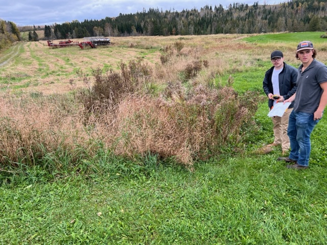
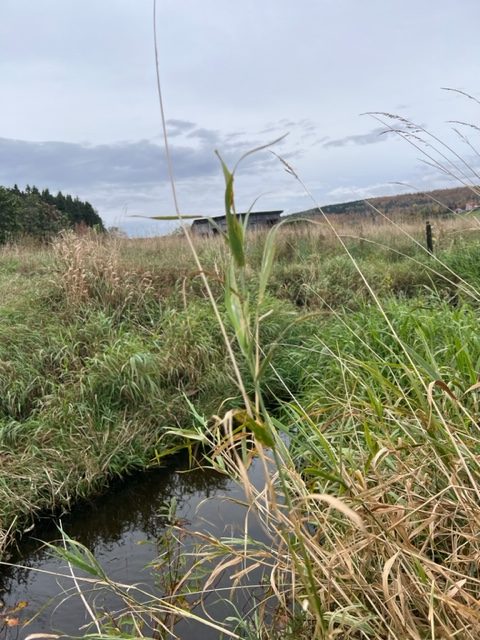
We conducted an inventory of the existing culverts along Church Avenue and Fort Kent Street. For each culvert, we collected data on the geometry of the culvert, and the flow entering the culvert. Resources used for watershed delineation and analysis include Google Earth Pro, TR-55, ArcGIS, and HEC-RAS.
Roadway modifications were designed as necessary in accordance with AASHTO and MaineDOT standards. We conducted a comprehensive risk analysis. We created a risk matrix weighing the flow analysis, use case, and existing conditions of each culvert.
We conducted a construction cost estimate for the new culverts. Our opinion of the probable cost for replacing the nine culverts we analyzed is $1,4m.